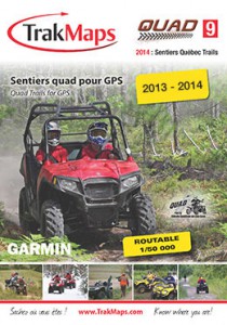
GPS Map
S2014 official fédération québécoise des clubs quads trail network
Summer and winter time maps, all compatible with Garmin gear.
- Always know where you are – the perfect equipment for excursionists! (si on parle des randonneurs à pied: hickers)
- 24,700 km of mapped trails
- Displays lakes, rivers, power lines, railroads, etc.
- More than 16,000 points of interest along the way (gas stations, restaurants, etc.)
- Mode routable ?
- New digital map base at a 1:50,000 scale
- Get it from: Fédération Québécoise des Clubs Quads, CanVec, TrakMaps
Available on SD cards or CD
CD also includes an overlay map compatible with other Quebec related topographic plans from TrakMaps.
To view the trails on your computer, you need the TrakMaps software (CD) and the Garmin BaseCamp software (free).

